Girton Fellow and Professor of Environmental Geography, Amy Donovan, gives us an insight into her research on interdisciplinary approaches to disaster risk management.
 My work sits between human and physical geography and is concerned with how they interact, particularly in the context of disaster risk. Disaster risk has been framed as the product of “hazard” – the physical process, like a flood – and “vulnerability” – factors that make people particularly susceptible to impacts from hazards.
Vulnerability is multifaceted and incorporates tangible elements (like building standards and physical infrastructure) as well as social and expressive elements (like poverty, marginalisation, beliefs, community cohesion). Typically, physical scientists have tended to work on hazard monitoring and modelling, while social scientists work on social vulnerability. However, responding to disaster risk requires integration – particularly in land use planning, outreach and the design and implementation of early warning systems. It is complex and challenging, and is increasing due to population growth and climate change.
I have worked in a range of different countries on problems at the interface of disciplines, thinking particularly about how we can best use the scientific knowledge that we have to reduce risk. In some contexts, that has involved collaborations on igneous petrology and gas geochemistry to assess possible scenarios and input information into scientific planning. I have worked with volcano observatories and geological surveys in Iceland, Italy, the Caribbean, Latin America and the DPRK.
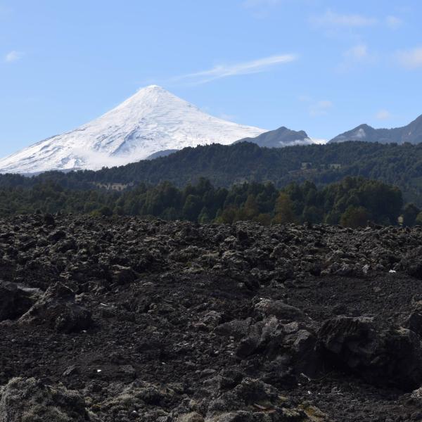
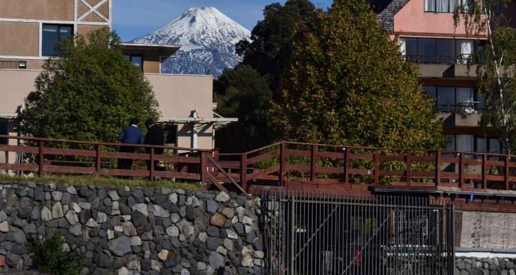
I have two ongoing projects. One is a long-term scientific collaboration – the Mount Paektu Research Centre – which seeks to facilitate environmental science work in the DPRK, focussing initially on studies of Mount Paektu, which is a stratovolcano on the border between Korea and China. My other project, IMAGINE, is working to create a transdisciplinary methodology to enhance preparedness and understanding of disaster risk in parts of Latin America. This has involved working closely with geological surveys, volcano observatories, civil protection and communities – including museums and other community-based organisations. We are designing a web-based tool that can be adapted for various different uses around volcanic environments that are experiencing rapid environmental change.